Boating, Fishing, and Travel Information for Jamestown, RI
SEE MORELocal Goods & Services See All Nearby
Sponsored Content
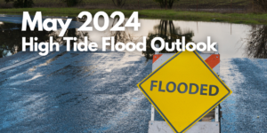
High Tide Flooding Predictions for May 2024
By US Harbors. Coastal Flooding Outlook for May 2024 Per NOAA, mean sea level is typically higher in the late spring due to changing weather patterns and increasing water temperatures. That said, the outlook for tidal flooding this May is pretty contained, and is certainly less than we saw a… Learn More
Fishing in Jamestown, RI Map View
Coastal News Updates See All
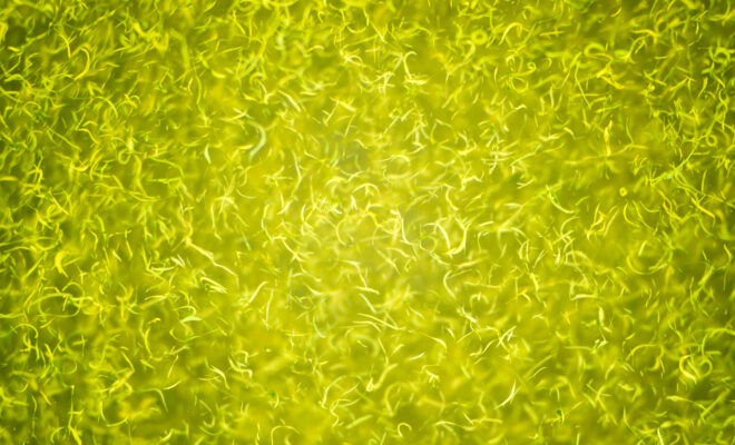
Can Green Hydrogen Production Help Bring Oceanic Dead Zones Back to Life?
By Brian Owens. Green hydrogen production makes a lot of extra oxygen. Could we put it to work revitalizing the ocean? Douglas Wallace was on a research ship in the middle of Canada’s Gulf of St. Lawrence when he heard the news: Canadian Prime Minister Justin Trudeau had met with… SEE MORE

Gigantic Marine Reptile's Fossils Found by British Girl and Father
By Will Dunham. April 17 (Reuters) – A fossil jawbone found by a British girl and her father on a beach in Somerset, England belongs to a gigantic marine reptile dating to 202 million years ago that appears to have been among the largest animals ever on Earth. Researchers said on Wednesday the… SEE MORE
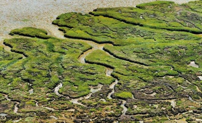
Making a Marsh out of a Mud Pile
By Erica Gies. In San Francisco Bay, scientists are looking for a better way to rebuild flagging marshland. The water in California’s San Francisco Bay could rise more than two meters by the year 2100. For the region’s tidal marshes and their inhabitants, such as the endangered Ridgway’s rail and the salt marsh… SEE MORE