Boating, Fishing, and Travel Information for Bristol, RI
SEE MORESponsored Content
High Tide Flooding Outlook for April 2024
By US Harbors. Coastal Flooding Predictions for April 2024 April's highest tides will happen at the end of the 2nd week of the month, starting as early as April 7 in some places, and heading back to normal after the 11th or 12th. There are some location-specific outliers we're highlighting… Learn More
Fishing in Bristol, RI Map View
Coastal News Updates See All
A New Electric-Powered-Boat Speed Record
By Kevin Falvey. Princeton Electric Speedboating, in coordination with Flux Marine, achieved a record speed for an electric-powered boat. On October 26, 2023, a team of engineering students at Princeton University—Princeton Electric Speedboating—set a new world record of 114.20 mph for an electric-powered boat. The famed pro-outboard hydroplane Big Bird ran on… SEE MORE
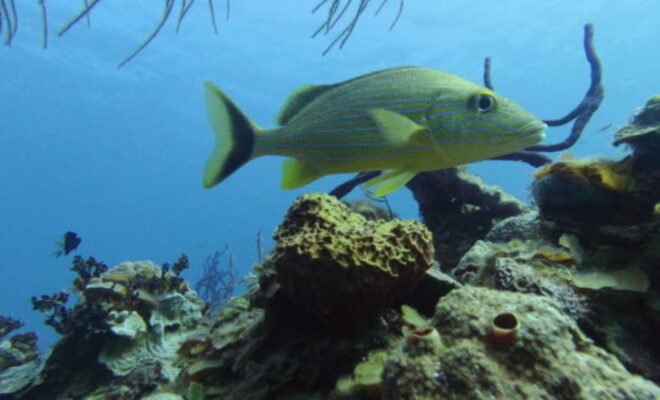
Adult Fish Struggle to Bounce Back in Marine Protected Areas
By ecomagazine.com. Age matters when determining how to protect life in the ocean; every population needs a strong cohort of adults to produce the next generation. But many marine protected areas (MPAs) are falling short of their most basic purpose: to rebuild struggling fish populations. In a new study published… SEE MORE
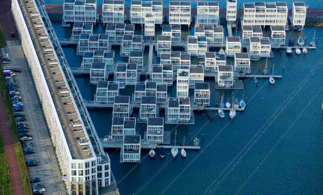
A Dutch Architect’s Vision of Cities That Float on Water
By Kyle Chayka. In a corner of the Rijksmuseum hangs a seventeenth-century cityscape by the Dutch Golden Age painter Gerrit Berckheyde, “View of the Golden Bend in the Herengracht,” which depicts the construction of Baroque mansions along one of Amsterdam’s main canals. Handsome double-wide brick buildings line the Herengracht’s banks,… SEE MORE